
Top Stories
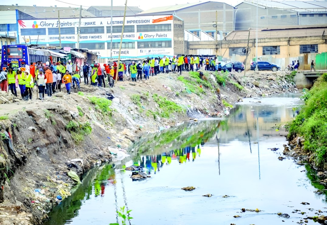
GIS specialist warns poor planning worsens Nairobi floods
Speaking in a Radio Generation interview on Monday, he explained that geographic information systems (GIS) combine data from satellites, field surveys and other sources to analyse how geographical features interact across space and time.